Port Tariffs & Fees
Current Tariffs
New Tariffs Effective March 1, 2026
The Port of Corner Brook is located on the west coast of Newfoundland and Labrador at the end of the Humber Arm, a 35 km (22 mile) fjord connected to the Gulf of St. Lawrence. Sheltered by the surrounding Blomidon Mountains, the port is protected from significant wind or wave issues. Accessible year round, the waters of the Bay of Islands are extremely deep with a 90 metre (300 ft) channel to gulf depth and a minimum dockside water depth of 10 metres (30 ft). The main berth location of Corner Brook Port is 48.985°N, 57.941°W.
The Port of Corner Brook is directly connected to the Trans Canada Highway (TCH) which provides easy access to nearby airports. The Deer Lake Regional Airport is a 50 km drive from the port and the Stephenville Dymond International Airport is an 84 km drive. The area is also services by Western Regional Memorial Hospital.
The Port of Corner Brook is fully certified under International Ship and Port Facilities Security Cody (ISPS) regulations. There is a Canada Border Service Agency (CBSA) office located nearby which provides customs clearing and authorized embarkation and disembarkation of passengers and crew of all types of vessels.
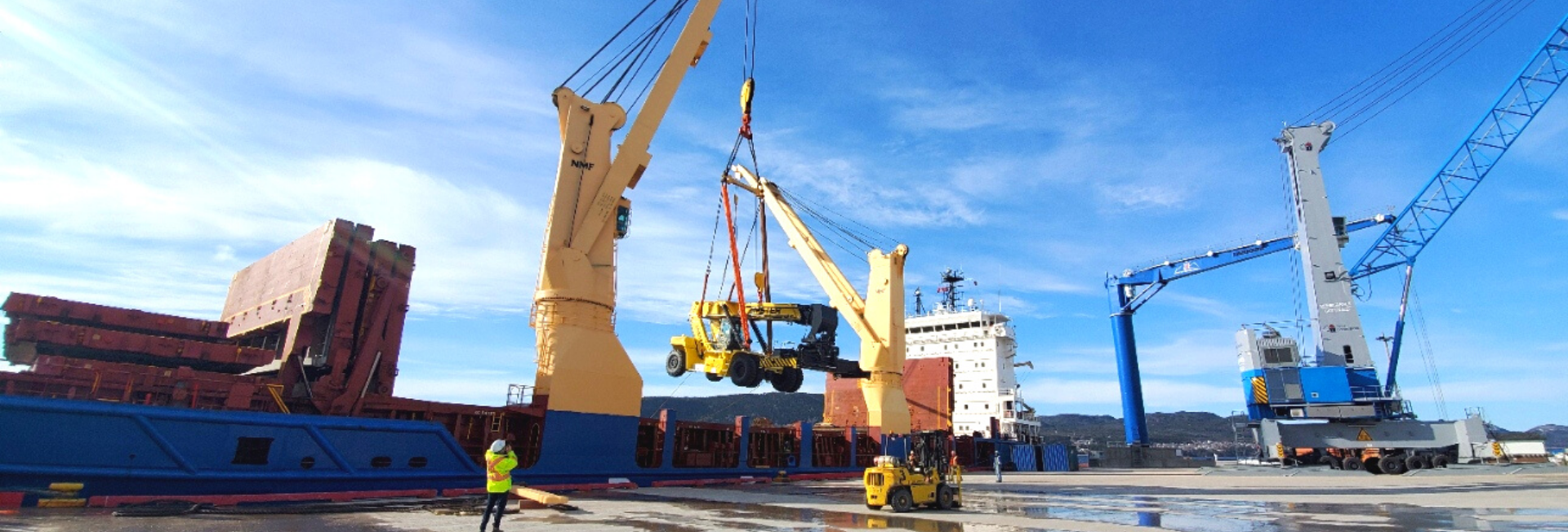
Port Services
- On-site Port Operations Manager
- Security Services including ISPS Regulations
- Pilotages (Atlantic Pilotage Authority)
- Local Canada Border Services Agency (CBSA)
- Terminal Operator and Stevedoring Services (Logistec Stevedoring Inc.)
- Local Supply and Service Companies
- Fresh water
- Burner and Diesel Fuel
- Gas and Lubricants
- Minor Repairs
- International Garbage Disposal
- Gray / Black Water and Sludge Removal
- Western Memorial Regional Hospital
- Two Airports in close proximity (Deer Lake Regional Airport & Stephenville Dymond International Airport)
- Dalton Warrior Tug Boat Services (PD Industries)
Port Specifications
- Main Berth
- Berth Name: Western Terminal
- Length: 1,200 ft (362 m)
- Min. Dockside Depth: 35.1 ft (10.7 m)
- Tender Dock (south side of berth)
- Length: 100 ft (30.5 m)
- Can accommodate 2 tender boats
- Harbour Specifications
- Humber Arm (Bay) Width: 1 mi (1.6 km)
- Channel Depth: 150 ft (46 m)
- Channel Basin Diameter: 5,000 ft (1,530 m)
- Tidal Range: 6.4 ft (2 m)
- Other
- Fenced in dockside space: 28,000 m2
- High-bay Maintenance Garage dockside
- Ro-ro rap: north end of berth